So I got the bike out. The milometer said less than 400 miles - that's in the last fifteen years. And to think I used to do over 20 miles a day...
 I'd noticed a sign like this just at the end of my road. It indicates a National Cycling Route (number 51), and I wondered where it went. There's a new cycle path, Thurston Cycle Track, just recently opened which is part of it that runs alongside Mount Rd, past the new Abbotts Green school and housing developments, the Flying Fortress and along past Rougham Airfield towards Thurston. An excellent place to start.
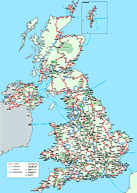
 Cycle Routes of Britain

The National Cycle Network is being developed by SUSTRANS. Their site includes an excellent facility for putting in a town or postcode and getting a map of cycle routes in the vicinity. Here is what it produces for my postcode.
It turns out that NCR 51 goes all the way from Lowestoft to Oxford - I think it might be some time before I'm fit enough for that!
In reality, some of the cycle network doesn't yet exist and there are only small stretches of such dedicated cylceway as that at the end of my road, but mostly it uses quiet back roads.
Incidentally it is interesting to compare the county council's Bury Cycle Map with the Sustrans one. It shows a route, not on the Sustrans map, that doesn't actually exist as a complete cycleway (you have to get off and push along a windy footpath through some trees to get to the path that runs behind Jermyn Avenue). Still, it is good to see the routes around the area (although I'm not sure all the ones in town are that great).
As I start to go further I must remember to take my camera and show what I find here.

1 comment:
I can't wait to get home to use the Thurston bike path. My mum's parents even walked on it to Bury!
Post a Comment